LOGISTICS (ON, CANADA)
20 Sept 2003

6 Aug 2003
Canoeing the French River, Georgian Bay Islands NP, ON: Western, Voyageur and Main Channels
Location:
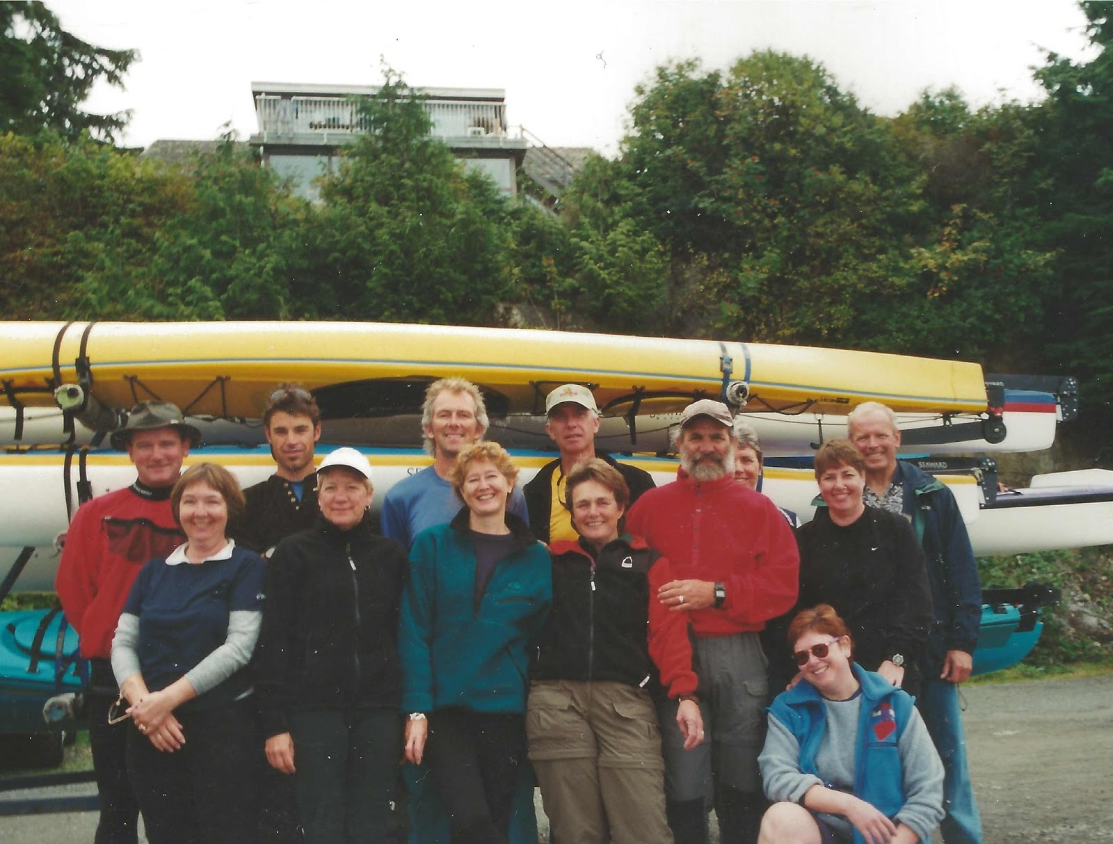
Hartley Bay, ON, Canada
LOGISTICS (ON, CANADA)
View 2003 French River in a larger map
Designation: FRENCH is a Canadian Heritage River
Canadian Heritage Rivers: FRENCH
Park: Georgian Bay Islands National Park
Canadian Heritage Rivers: FRENCH
Park: Georgian Bay Islands National Park
Private Vehicle: Kanata > Sudbury > Hartley Bay
Tandem Canoe: Hartley Bay > Western / Voyageur / Main Channels French R > Hartley Bay - CII, 6 days, 54 kms
Private Vehicle: Hartley Bay > Sudbury > Kanata
View 2003 French River in a larger map
FRENCH
4 Jul 2003
Highland Backpacking Trail, Algonquin PP, ON
A Short Backpacking Trip
LOGISTICS
Route: Trailhead @ Mew Lk > Pewee Lk > Provoking Lk > Head > Harness Lake > Mosquito Lake > Fly Lake > Provoking Lake > Trailhead @ Mew Lk
Distance: 36 kilometres

This is an intermediate level trail. Hikers will be isolated at the back end of the large loop at a distance of approximately 15 kms from the MNR Office at Mew Lake. Hikers must be capable of carrying 35 to 65 lbs depending on personal needs and requirements. The terrain is mostly mixed forest with several small wetland area, small lakes with exposed rocky shorelines and trail grades that are fairly steep at times. The trail surface can be rooted and rocky in places. The bush is well-shaded with few sections exposed to direct sunlight. There are very few lookouts and views.
Highland Backpacking Trail Photography
Crusty ...
22 May 2003
ORCA Flatwater Instructor Certification
Location:
Rideau Canoe Club, Ottawa, ON, Canada
Certifications
LOGISTICS
Certification By: PMH Outdoors
Instructor: Bruce Hawkins
Courses: ORCA Flatwater Canoe Instructor, Lakewater 1


Instructor: Bruce Hawkins
Courses: ORCA Flatwater Canoe Instructor, Lakewater 1
This course fulfilled all my expectations and I was successful at obtaining both certifications.
17 Mar 2003
Super Club Breezes Jibacoa, Playa Jibacoa, CUBA


We left the resort grounds and made several trips into the countryside. We met a number of Cubans whose families had been working the land for generations. Western propoganda has done immeasurable damage to the way in which Cuba is viewed internationally. The people are wonderful! An overwhelming percentage (90%+) support Castro and the Revolution ... even those Cubans that fled to the USA support the Revolution, but not Castro.
28 Feb 2003

21 Sept 2002
Backpacking the La Cloche Silhouette Trail, Killarney PP, ON
One of Ontario's' Premier Trails
LOGISTICS
Direction: Clockwise from Baie Fine Trailhead > Lumsden Lk > Three Narrows Lk > Little Mountain Lk > Silver Lk >Little Superior Lake > George Lk > Silver Peak Trailhead
Days: 7.5
Average Daily Distance: 13 kms
Total Distance: 98 kilometres

I have wanted to do this backpacking trip since I first paddled in Killarney with Helen a few years ago. As the brochure states, one of only a few wilderness parks in Ontario, Killarney Provincial Park offers a window into some of the finest back-country canoeing and hiking in Canada. Killarney's exceptionally scenic landscapes are noted for exposed white rock cliffs and crystal lakes. At it's southern edge, Killarney hugs the north shore of beautiful and wild Georgian Bay. Killarney hosts warm summers, crisp, cold winters, spectacular autumns and fresh spring days.
9 Aug 2002
14 Jun 2002
Canoeing the Aux Sable River, Massey, ON
Location:
Massey, ON, Canada
FIRST Guiding Job
LOGISTICS (ON, CANADA)
Partner(s): Several of the clients
Air Travel: Ottawa > Sudbury
Shuttle: Sudbury > Chelmsford > Bull Lake > along Massey Tote Road to first right after Bull Lk. Lodge > Put-in @ first bridge crossing
Tandem Canoe: Bridge crossing > AUX SABLES R., > oxbow @ UTM N5127500 E413300 - 2 day, CII+, 40 kms.
Shuttle: return to Sudbury > Sudbury Airport
Air Travel: Sudbury > Ottawa
1 Jun 2002
Canoeing the Petawawa River, Algonquin PP, ON: Lake Travers > McManus Lake
Location:
Lake Travers, Algonquin Park, ON
Another River Trip
LOGISTICS (ON, CANADA)
Paddlers: Wanda & Al, Karen & Gerry, Heather & Fred, Rick & Me
Water Level: HIGH
Guide; 'Petawawa River Whitewater Guide' George Drought
Tandem Canoe: Lake Travers > McManus Lake - CII+ / CIII, 3 days, 50 kms
Rapids Run: Big & Little Thompson (CIII), Grillade (CI), Above the Chute (CII), Natch (CIII+), Schooner (CII), Five Mile (CII)
Portage: around Crooked Chute CIV
Skill Level: Intermediate - river,lake and wilderness travel, some rocky steep portages
Wildlife: Moose, Red Fox, Eastern Algonquin Wolf, many Raptors
Photography: Scanned Analog

The origin of the name Petawawa is lost in antiquity, but legend has it that it's an Algonquin Indian word pronounced 'Petwewe' which translates roughly to ' where one hears a sound like this' referring to the roar of the white-water rapids of the river.
PETAWAWA 2002 Photography
25 May 2002
Outlast Adventure Race
Location:
Richmond, ON , Canada
Dann's First (and only) Adventure Race
Team: Chris Kurlicki, Bruce Schom, Me
Oldest Competitor This Race: Me @ 50
Support Crew: Helen, Mae, Earl
Disciplines: 5 km orienteering, treking, running, 16 km mountain biking, 10 km paddling
Total Distance : 31 kms
Time: 5h 35m
Result: 6th place out of 23 teams, 4th in 3-man category
Photography: Scanned analog

We just wanted to complete this race, so we were pleased to place as well as we did.
1 Mar 2002
El Dorado Royal Resort, Quintana Roo, MEXICO

LOGISTICS
Travel: Ottawa > Cancun > El Dorado Royal - 4 hr flight, customs, a corona getting on the bus, 45 min bus trip, 3 hr check in delay while room was cleaned, eat - drink - beach - eat - drink - bed.
Photography: Scanned analog

Photography: Scanned analog

El Dorado Royal Resort, Quintana Roo Photography
22 Aug 2001
INSTRUCTION: ORCA Canoe Tripping Level II Certification: Canoeing the Missinaibi / North French / Moose Rivers, ON
A Certification
LOGISTICS (ON, CANADA)
Designation: MISSINAIBI is a Canadian Heritage River
Certification By: White Wolf Expeditions
Instructor: Jeff Zuchlinski
Course: ORCA Wilderness Tripping II
Photography: Scanned analog


Solo & Tandem Canoes: Missinaibi River - CIII, 19 river days, 443 kms
Experience: Intermediate moving water skills are required to negotiate rapids CII and greater, there is some lengthy portaging and the area is an isolated wilderness
Experience: Intermediate moving water skills are required to negotiate rapids CII and greater, there is some lengthy portaging and the area is an isolated wilderness
Take-Out: Moose River Crossing
Instructor: Jeff Zuchlinski
Course: ORCA Wilderness Tripping II
Photography: Scanned analog
11 Aug 2001
The Smokies
Location:
Gatlinburg, TN, USA
TEAM Brooks: Helen, Ron, Sue, Cheryl, Kyla, Trestan
Others: Katie, Me
Hiking: Ramsey Cascades Trail (12km, strenuous)
Rafting: Big Pigeon River (CI > CIV), 11kms, 17 rapids, water level HIGH
Outfitter: Rip Roaring Adventures
Guide: Meaghan
Guiding: I steered the raft through the final half dozen CII > III's at days end.
B&W Photography: Sue
Photography: Scanned analogue
Event: 27th Wedding Anniversary

Apparently, called the Smokey Mountains, because the air rarely clear due to continuous and sometimes very heavy humidity.
Others: Katie, Me
Hiking: Ramsey Cascades Trail (12km, strenuous)
Rafting: Big Pigeon River (CI > CIV), 11kms, 17 rapids, water level HIGH
Outfitter: Rip Roaring Adventures
Guide: Meaghan
Guiding: I steered the raft through the final half dozen CII > III's at days end.
B&W Photography: Sue
Photography: Scanned analogue
Event: 27th Wedding Anniversary

14 Jul 2001
KAYAKING: Pukaskwa Shoreline, Pukaskwa National Park, Lake Superior, ON
Paddling On The World's LARGEST Freshwater Lake
LOGISTICS (ON, CANADA)
Route: Hattie Cove > Michipicten Harbour, Lake Superior, ON
Paddlers: Karen, Gerry, US
Duration: 13 days on the water
Description: The section we paddled is said by many kayakers to be the best on Lake Superior, if not all of the Great Lakes. 175 kms of road-less wilderness, clear turquoise waters, wonderful sand beaches and several white-water rivers with spectacular waterfalls.
Photography: Scanned analog
From Superior - Journeys On An Inland Sea, by Gary and Joanie McGuffin
"Superior is the most expansive lake on Earth. Its' area of 32,000 square miles (82,000 square kilometres) would cover the province of New Brunswick with room to spare, or the states of Vermont, New Hampshire, Connecticut and Massachusetts combined. A rock dropped into the water over the lakes' deepest spot would sink 1,330 feet (450 m) before coming to rest on the bottom. Superiors' enormous size can also be described by its volume of water: 3,000 cubic miles (6,500 cubic kms), enough to cover the North and South American continents a food deep. A drop of water entering Superior from rain clouds or rivers can circulate the basin for 200 years before it flows down the St. Mary's River at Sault Ste. Marie. More than 200 rivers flow into it, but the St. Mary's is the only one flowing out. The coastline is nearly 2,000 kilometres long and if you add to that, the shoreline around all its' islands, the total distance is closer to 3,000 kilometres. It creates its' own weather patterns, establishing rules about the ebb and flow of seasonal life. Its' sheer size deters crossing by hawks, eagles, ospreys and falcons, who prefer to fly the eastern and western shores during fall migrations."
Pukaskwa NP Photography
6 Jul 2001
INSTRUCTION: Basic Sea Kayaking: Georgian Bay, Lake Huron, ON
Women's Sea Kayaking
LOGISTICS (ON, CANADA)
Dates: July 6 - 10
Paddlers: Chris, Donna, Peggy, Helen
Put-In: Killbear PP
Route: Put-In > Pancake Is. > Franklin Is. > circumnavigate Franklin Is. > Takeout at Killbear PP
Instruction: Basic Sea Kayaking skills

Paddlers: Chris, Donna, Peggy, Helen
Put-In: Killbear PP
Route: Put-In > Pancake Is. > Franklin Is. > circumnavigate Franklin Is. > Takeout at Killbear PP
Instruction: Basic Sea Kayaking skills

Lake Huron Photography
6 Oct 2000
Hiking in Frontenac PP
Day Hiking
Hikers: Ellen, Randy, Helen, Me
Trails: Little Salmon Lake, Akron Lake Loop
Distance: 28.7 kms

10 Sept 2000
KAYAKING: Vargas Island Circumnavigation
Sea Kayaking
LOGISTICS (BC, CANADA)
Outfitter: Wild Heart Adventures
Guides: Kim Crosby, Adam
Route: In Clayquot Sound, from Tofino > a circumnavigation of Vargas Island > Tofino
Kayak: Seaward Tandem F-glass
Accommodation: Vargas Island Inn
Photography: Scanned analog from journal pages
Purchase: $2900. Cost included shipping from BC to Ottawa, re-gel the hull, replace all deck bungees and detail. Trailhead in Ottawa, delivered the boat to our home in Kanata. We used the kayak for many years before selling it in 2014 for $1500.
CLAYQUOT SOUND Photography
24 Aug 2000
RAFTING : Tatshenshini / Alsek Rivers, YT & BC, CANADA and AK, USA
Location:
Shawashee, YT, Canada
FIRST Rafting Expedition
LOGISTICS (BC, CANADA)
Designation(s): TATSHENSHINI - ALSEK are Canadian Heritage Rivers, World Heritage Site
Canadian Heritage Rivers: TATSHENSHINI
Canadian Heritage Rivers: ALSEK
Air Travel: Vancouver > Whitehorse, YT
Canadian Heritage Rivers: TATSHENSHINI
Canadian Heritage Rivers: ALSEK
Air Travel: Vancouver > Whitehorse, YT
Vehicle Shuttle: Whitehorse > Shawashee (Dalton Post)
Outfitter: Nahanni River Adventures
Guides: Ron Morrison, Trent Abbott, Pepi Krajc, Jeff Faulkner
Rafters: Lesley Brooks, Tom Irwin, Mona Whitaker, Roger, Carol and Eric Pearson, US
Rafts: Commanche, Heffi and Hualapai
Rafters: Lesley Brooks, Tom Irwin, Mona Whitaker, Roger, Carol and Eric Pearson, US
Rafts: Commanche, Heffi and Hualapai
Put-In: confluence of Klukshu Creek
Expedition Raft: Tatshenshini, YT > Alsek River confluence, BC > near Dry Bay, AK - CIII, 11 river days, 255 kms
Elevation Drop: 2000 metres
Elevation Drop: 2000 metres
Take-Out: Couple of kms upstream of Dry Bay, AK
Portage: Take-Out > Dry Bay, AK
Portage: Take-Out > Dry Bay, AK
Air Travel: Dry Bay, AK, USA > Whitehorse, YT, CANADA
Photography: Scanned analog

Photography: Scanned analog
4 Aug 2000

Subscribe to:
Posts (Atom)